Suitability Model – Risk-Informed Decisions for Planning and Investment

The Challenge
Nowadays, there is a common understanding that development – in order to be sustainable – also needs to take into account climate and disaster risk information. Many countries have specifically mandated national agencies and international and national state and non-state partners that produce and disseminate data and information on climate and disaster risk. Local governments rely on this data to inform their decision-making processes. However, standard methods to inform about hazard and climate risks commonly only depict risk categories for different hazards in a pre-defined area of land. Such methods neither provide information about the expected damages and losses from different hazards, nor do they weigh the hazards based on their importance for different development options (e.g. residential buildings, agricultural crops). However, provincial and local governments need this information to make land-use and investment decisions.
In response to this, the GIZ, through the Global Initiative on Disaster Risk Management (GIDRM), supported the development of the Suitability Model. The methodology of the Suitability Model has been developed in Leyte Province, Philippines, as a direct response to the impacts of Typhoon Haiyan, focusing on residential buildings.
Our Objectives
Our objective was to deliver easy-to-understand and ready-to-process land planning and investment directions with the Suitability Model. While the outcome builds on existing hazard mapping strategies, the Suitability Model provided context-specific quantifications of risks from potential hazards for different land-use and investment types (e.g. buildings, infrastructure) in a pre-defined area of land. By quantifying the expected damages caused by hazards in percent of value per year, expected damages can easily be translated into any other value according to client requirements.

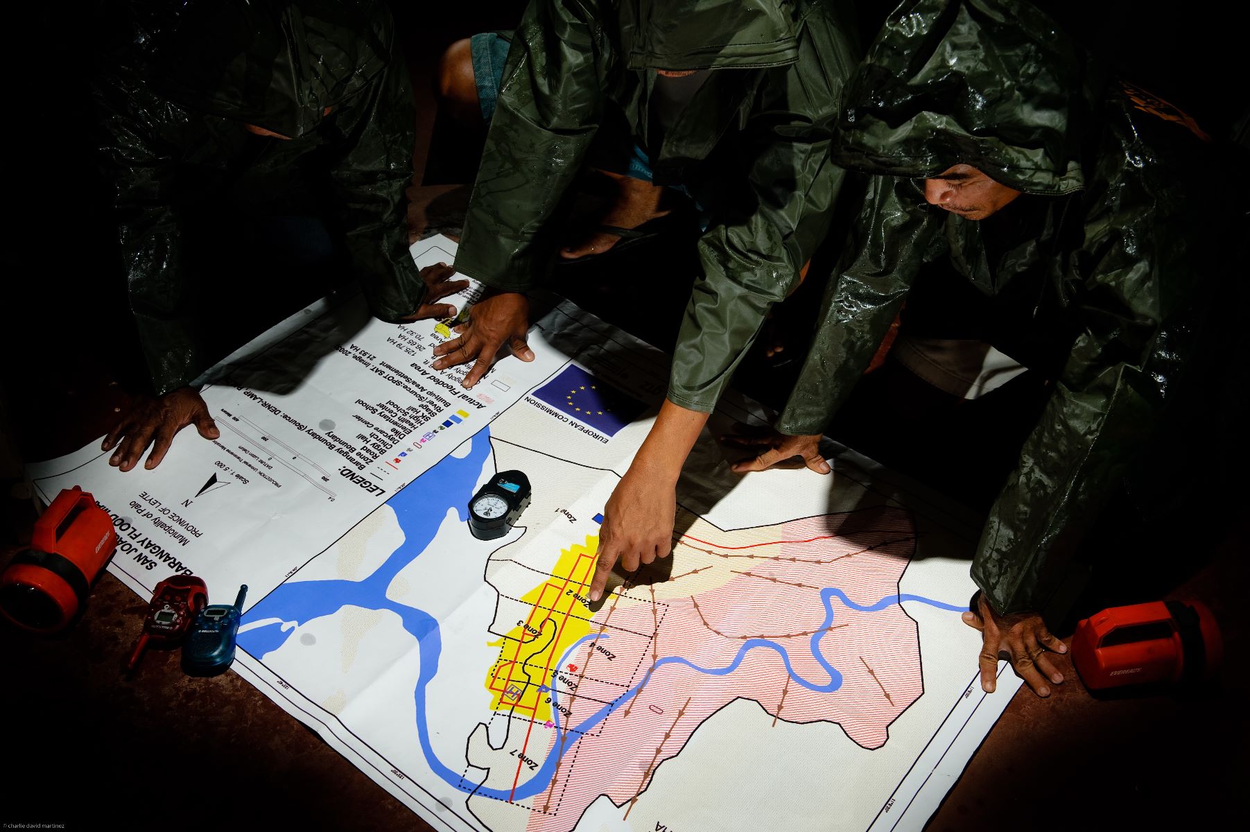
© Dave Martinez
Our Approach
Building upon the successes of traditional hazard and risk mapping approaches, the Suitability Model supported decision-makers in analysing and making efficient use of the information provided. Traditional attempts to incorporate risk data into decision-making processes require users to be well-trained in the analysis of hazard and risk maps. This requires a considerable amount of time and learning effort on behalf of the stakeholders on the ground. With heavy workloads, short election periods and frequent fluctuations, the traditional attempts to incorporate risk data into decision-making processes are not always feasible. Given this, the Suitability Model seeked to build on the strength of traditional methodologies and intends to create a distinctive added value. Instead of teaching the users an entirely new language, data and information were translated to theirs. Users were guided by clear step-by-step instructions that are easy to follow and to conduct.
The final outcome of the Suitability Model entailed precise information about area-specific risks that are the combination of multiple hazards, vulnerabilities, exposure, return periods, and climate change projections, as well as their impact on specific types of infrastructure such as residential buildings or different development options such as agricultural crops. The information was broken down into a risk indicator that is readily understood by clients, i.e. the expected damage caused in percentage of value per year. This enabled clients to effortlessly make decisions on land use plans and investment opportunities. It significantly reduced investment and planning uncertainties, will increase readiness support in case of an emergency, and in turn strengthen local economies and make businesses and infrastructures more resilient in the future.
Our Partners
In the Philippines, GIDRM I was cooperating with a wide range of partners to further develop and pilot the Suitability Model including the Local Government Academy (LGA) of the Department of the Interior and Local Government (DILG), Philippine National Economic Planning Authority Region 8, Metro Cebu Development and Coordination Board (MCDCB) as well as local governments and academia.
The application of the Suitability Model in the Province of Cebu was jointly implemented with the Provincial Government of Cebu, Phil-LiDAR Research Center, University of San Carlos, and Ramon Aboitiz Foundation Incorporated (RAFI).
In Vietnam, the suitability model was piloted in the Mekong Urban Flood Resilience and Drainage Program funded by the Swiss Economic Cooperation Organisation (SECO) in the cities of Cam Mau, Rach Gia and Long Xuyen in the three adjacent provinces of Ca Mau, Ang Giang and Kien Giang.